Ledegem
Municipality in Flemish Community, Belgium

Flag

Coat of arms
Location of Ledegem


Ledegem
Location in Belgium 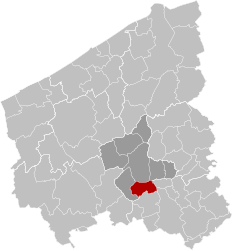
Location of Ledegem in West Flanders

 Belgium
 (2018-01-01)[1]
8880
36010
Ledegem (Dutch pronunciation: [ˈleːdəɣɛm]; West Flemish: Léhèm) is a municipality located in the Belgian province of West Flanders. The municipality comprises the towns of Ledegem proper, Rollegem-Kapelle [nl] and Sint-Eloois-Winkel. On January 1, 2006, Ledegem had a total population of 9,306. The total area is 24.76 km2 which gives a population density of 376 inhabitants per km2.
Hulde aan onze Helden [nl] is a monument/plaque at the Sint-Petruskerk to the Belgian soldiers and civilians from Ledegem who died in World War I.
References
- ^ "Wettelijke Bevolking per gemeente op 1 januari 2018". Statbel. Retrieved 9 March 2019.
External links
 Media related to Ledegem at Wikimedia Commons
- Official website (in Dutch)


- v
- t
- e

- Bold indicates cities
- Italic indicates Municipalities with language facilities
| Authority control databases: Geographic |
|
|---|
 | This West Flanders location article is a stub. You can help Wikipedia by expanding it. |
- v
- t
- e


