Mount Muhabura

Mount Muhabura
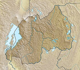
Location in Rwanda (on border with Uganda)
Show map of Rwanda
Mount Muhabura
Mount Muhabura (Uganda)
Show map of UgandaMount Muhabura, also known as Mount Muhavura, is an inactive volcano in the Virunga Mountains on the Rwanda-Uganda border. At 4,127 metres (13,540 ft), Muhabura is the third highest of the eight major mountains of the mountain range, which is part of the Albertine Rift, the western branch of the East African Rift. Its summit contains a small crater lake. The limited evidence for this volcano suggests that it last erupted some time in the Holocene, but the exact date is not known. The Smithsonian Institution states that a small parasitic crater near Muhabura had been active recently. Muhabura is partly in the Volcanoes National Park, Rwanda and partly in the Mgahinga Gorilla National Park, Uganda.

The name Muhabura means "The Guide" in the local language, Kinyarwanda.[citation needed]
It can be seen from many parts of Uganda and Rwanda because of its slope.

See also
References
- ^ a b c "Mount Muhabura". Global Volcanism Program. Smithsonian Institution. Retrieved 2020-06-30.
- ^ "Mount Muhabura". Peakbagger.com. Retrieved 2008-12-23.
External links
- Hike Muhabura Volcano with Bamboo Ecotours
- Mount Muhabura (Muhavura)
| Authority control databases: Geographic |
|
|---|


