Tofield


Cet article est une ébauche concernant une localité canadienne et l’Alberta.
Vous pouvez partager vos connaissances en l’améliorant (comment ?) selon les recommandations des projets correspondants.
| Tofield | |
 Rue principale du bourg | |
| Administration | |
|---|---|
| Pays |  Canada Canada |
| Province |  Alberta Alberta |
| Subdivision régionale | Beaver |
| Statut municipal | Ville (town) |
| Maire | Nabil Chehayeb |
| Constitution | 1909 |
| Démographie | |
| Population | 2 182 hab. (2011) |
| Densité | 267 hab./km2 |
| Géographie | |
| Coordonnées | 53° 22′ 13″ nord, 112° 40′ 01″ ouest |
| Superficie | 817 ha = 8,17 km2 |
| Divers | |
| Langue(s) | Anglais |
| Fuseau horaire | Hiver : HNR (UTC-7) Été : HAR (UTC-6) |
| Indicatif | +1-780 |
| Code géographique | 4810018 |
| Localisation | |
| Liens | |
| Site web | http://www.tofieldalberta.ca/ |
modifier  | |
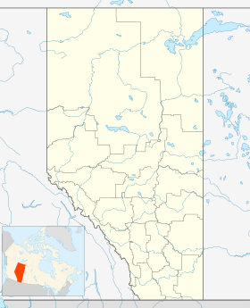

Tofield est une ville (town) située dans le comté de Beaver en Alberta au Canada. Elle se trouve à 68 km à l'est d'Edmonton, à l'intersection des autoroutes 14, 834 et 626[réf. nécessaire].
Démographie
| 2001 | 2006 | 2011 | 2016 |
|---|---|---|---|
| 1 818 | 1 876 | 2 182 | 2 081 |
Sources : Statistiques Canada 2006[1] Statistiques Canada 2016[2]

Notes et références
- (en) Cet article est partiellement ou en totalité issu de l’article de Wikipédia en anglais intitulé « Tofield, Alberta » (voir la liste des auteurs).
Sur les autres projets Wikimedia :
- Tofield, sur Wikimedia Commons
 Portail de l’Alberta


