Loury
Gemeente in Frankrijk  | |||
|---|---|---|---|
 | |||
  | |||
| Situering | |||
| Regio | Centre-Val de Loire | ||
| Departement | Loiret (45) | ||
| Arrondissement | Orléans | ||
| Kanton | Fleury-les-Aubrais | ||
| Coördinaten | 48° 0′ NB, 2° 5′ OL | ||
| Algemeen | |||
| Oppervlakte | 34,36 km² | ||
| Inwoners (1 januari 2021) | 2.548[1] (74 inw./km²) | ||
| Hoogte | 108 - 152 m | ||
| Overig | |||
| Postcode | 45470 | ||
| INSEE-code | 45188 | ||
| Foto's | |||
 | |||
| Église Saint-Bon-Saint-Dulcide | |||
| |||

Loury is een gemeente in het Franse departement Loiret (regio Centre-Val de Loire). De plaats maakt deel uit van het arrondissement Orléans. Loury telde op 1 januari 2021 2.548[1] inwoners.
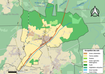
Geografie
De oppervlakte van Loury bedroeg op 1 januari 2021 34,36 vierkante kilometer; de bevolkingsdichtheid was toen 74,2 inwoners per km².
Demografie
Onderstaande figuur toont het verloop van het inwonertal (bron: INSEE-tellingen).

Externe links
- (fr) Statistische informatie op de website van INSEE
Bronnen, noten en/of referenties
|
Mediabestanden
Zie de categorie Loury van Wikimedia Commons voor mediabestanden over dit onderwerp.


