Pittington
 | |
| Państwo |
|
|---|---|
| Kraj |
|
| Region | North East |
| Hrabstwo | Durham |
| Populacja (2011) • liczba ludności |
|
Położenie na mapie Durham  | |
Położenie na mapie Wielkiej Brytanii  | |
Położenie na mapie Anglii  | |
 54°48′N 1°29′W/54,800000 -1,483333 54°48′N 1°29′W/54,800000 -1,483333 | |


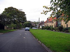
Pittington – wieś i civil parish w Anglii, w hrabstwie Durham[1]. Leży 7 km na północny wschód od miasta Durham i 377 km na północ od Londynu[2]. W 2011 roku civil parish liczyła 1534 mieszkańców[3].
Przypisy
- p
- d
- e
Miejscowości dystryktu Durham (1974–2009)
|


